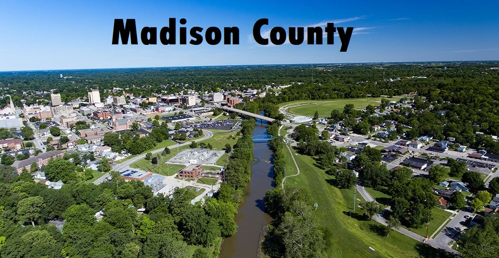
Madison County, IN
Cemetery Information by Township:
Many of these links will refer you to the pages of the Madison County Cemetery Commission website that has lots of fantastic information.
ADAMS TOWNSHIP (Markleville, Emporia, Ovid)
Click on the cemetery below to see a list of pioneer burials, history, bits of biographies, and pictures.
CREDIT to the Madison County Cemetery Commission for the following interactive map!
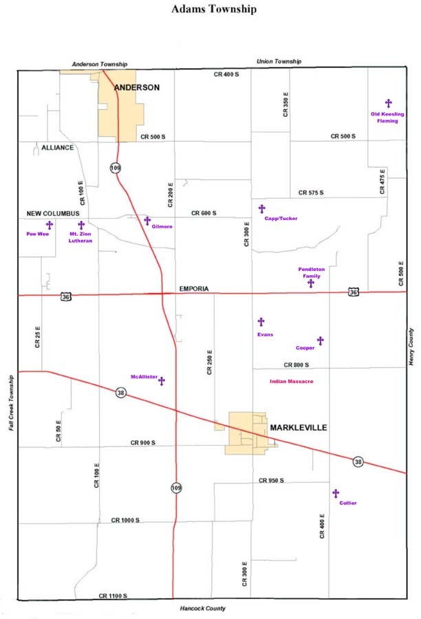
Pioneer Cemeteries:
East of Road 350 East on 575 South (sec. 10) /GPS N40.1.320; W085.36.232
---------------------------------
Collier-Colliers, [United Baptist]
Southeast of Markleville, East of Road 400 East (sec. 35) /GPSN39.57.968; W085.35.361
---------------------------------
North side of CR 800S, East of CR 300E (No GPS Available)
---------------------------------
South of Road 400S on Paul Sanders farm (sec. 02) /GPS N40.2.2738; W085.34.980
---------------------------------
North side of St. Road 109, S.E. of New Columbus (Ovid) (sec. 17) /GPS N40.00.918; W085.38.907
---------------------------------
West of CR 450E, North of US 36/ GPS N40.00.443; W085.35.230
---------------------------------
West of S.R. 109 (200 East) south of Lick Creek (sec. 20)/ GPS N39.59.402; W085.38.177
---------------------------------
Ovid-Lutheran-Mt. Zion, [Luth. 1847]
Road 600 South (sec. 18)/ GPS N40.1.119; W085.39.609
---------------------------------
Pee Wee-Prince of Peace, [Pr. Bapt.]
Road 600 South and 50 East (sec. 18)/ GPS N40.1.084; W085.39.843
---------------------------------
West of S.R. 109, North of Fall Creek (sec. 07). (No GPS Available)
---------------------------------
East of Road 250 E and North of 950 (sec. 33) /GPS N39.58.034; W085.37.492
---------------------------------